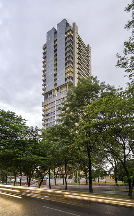

-
Program:
Urban Development
-
Status:
Concept and Schematic Design
-
Area:
327,569 m²
-
The master plan for the Atlántida mixed-use residential project aims to contribute to the reconfiguration of a new urban identity and the landscape consolidation of a strategic sector in Guatemala City through its architectural and urban design proposal. Its primary objectives include the creation of mixed-use centralities, the development of high-quality public spaces, and the harmonious integration with the natural environment. These strategies not only revitalize this key area of the city but also promote sustainable urban development that enhances the quality of life for its residents.
The preliminary design for the Atlántida urbanization is located on a plot of approximately 65,800 m² in the northern sector of Guatemala City. The site is bordered by Avenida 11, Avenida 13, the CA9 highway, and the Mercado Meta Terminal, southeast of Zone 18. Currently undeveloped, the site features a topography with a 15-meter elevation difference between the two avenues. Its strategic location offers sweeping views of the western volcanoes, excellent road connectivity, and access to Guatemala City's public transportation system, the Transmetro. Additionally, it is surrounded by shopping centers and service areas, making it an ideal location for a residential development that will energize and transform the surrounding environment.
The project design maximizes the site's natural features, establishing a framework for sustainable, inclusive, and impactful architectural development. A core principle of the project is the creation of a walkable urban environment through a controlled urban scale that fosters a comfortable microclimate and prioritizes the user experience. The plan identifies complementary intensification nodes and introduces a new centrality that encourages social interaction through thoughtfully designed public spaces, connecting people in both collective and private settings.
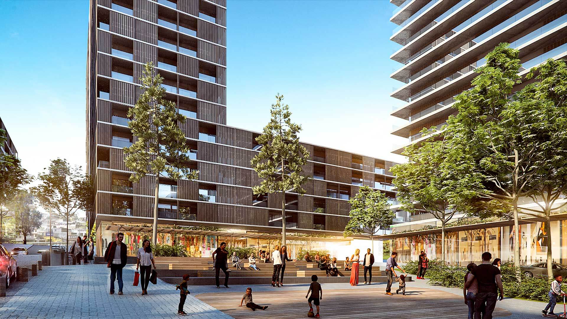
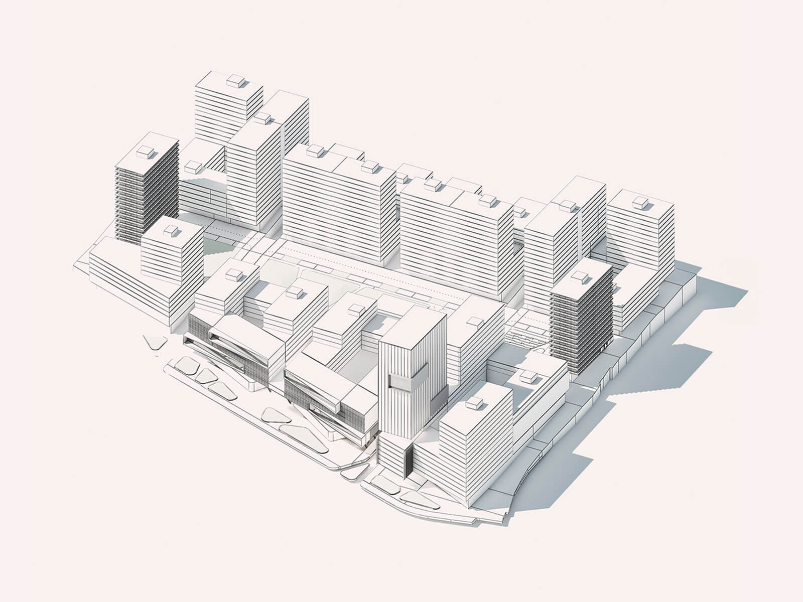
The architectural proposal integrates residential blocks with commercial podiums, activating a dynamic mixed-use hub that promotes functional diversity across the sector. The design is structured around a system of bands that respond to the site's unique characteristics. The lower band, located along Avenida 11, is associated with high-intensity mobility dynamics and a robust vehicular infrastructure, making it a key axis for traffic flow and connectivity. In contrast, the upper band, situated along Avenida 13, corresponds to a lower-scale residential fabric, offering a quieter environment suitable for housing. Between these two, the central green strip serves as a transitional zone and an oasis for the development, organizing the placement of taller buildings and harmonizing them with the surrounding natural environment.
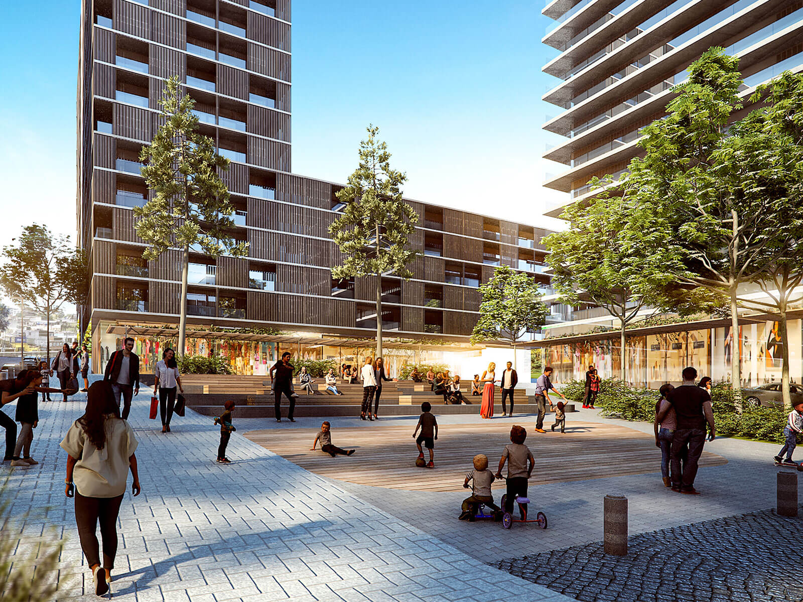
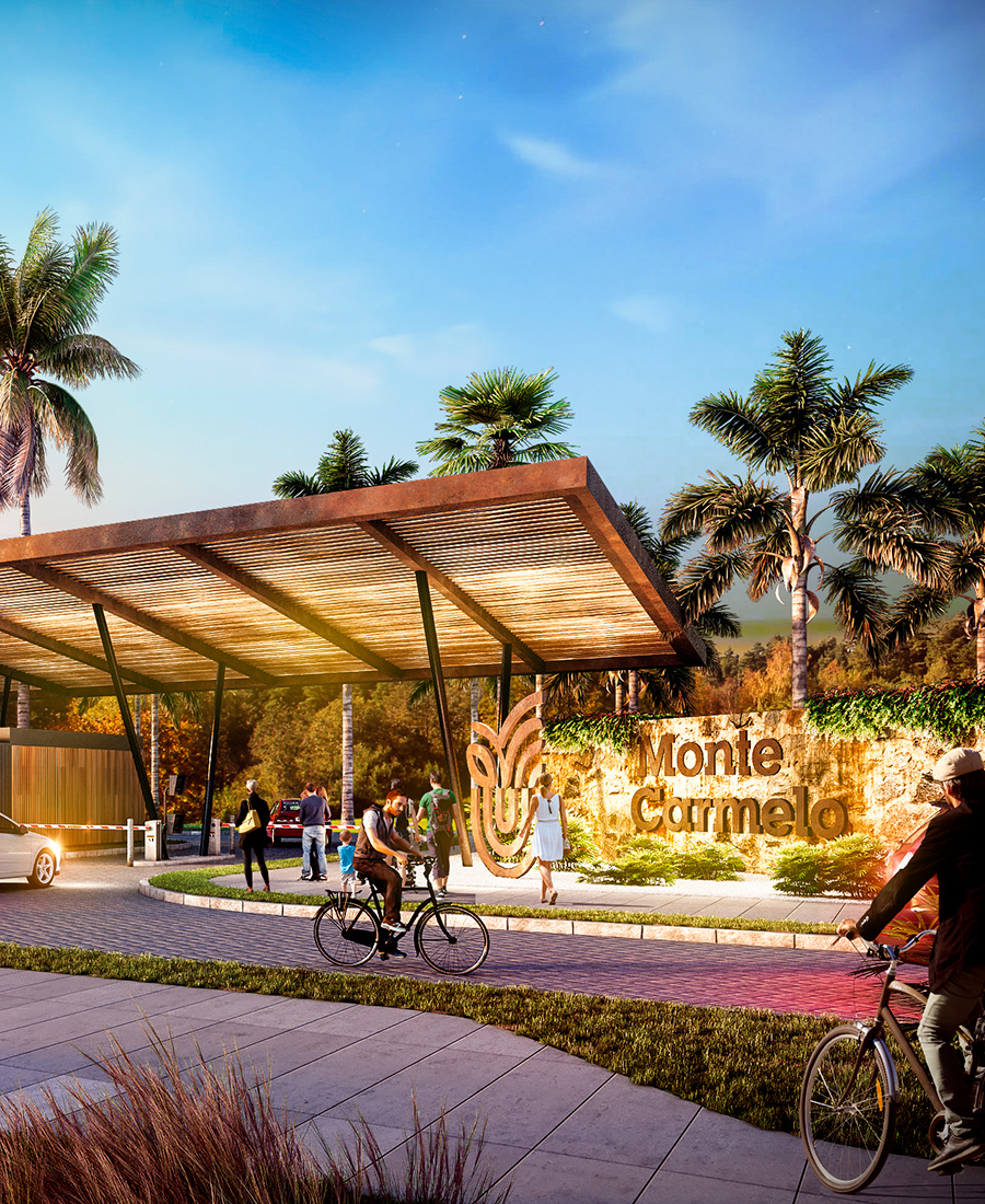
The design capitalizes on the site's natural slope, with building heights increasing toward Avenida 13 and decreasing toward Avenida 11, except for specific architectural landmarks that emphasize the project's identity. The bands are interconnected by two vehicular axes and a central pedestrian axis, which structure the macro-lots. Along Avenida 13, a dual vehicular access to the district's core is proposed, with controlled entry points leading to underground parking levels. On Avenida 11, vehicular access is limited to the subterranean levels. The parking areas, entirely underground, are organized into two main zones associated with the avenues, adapting to the site's topography and allowing flexibility for phased construction.
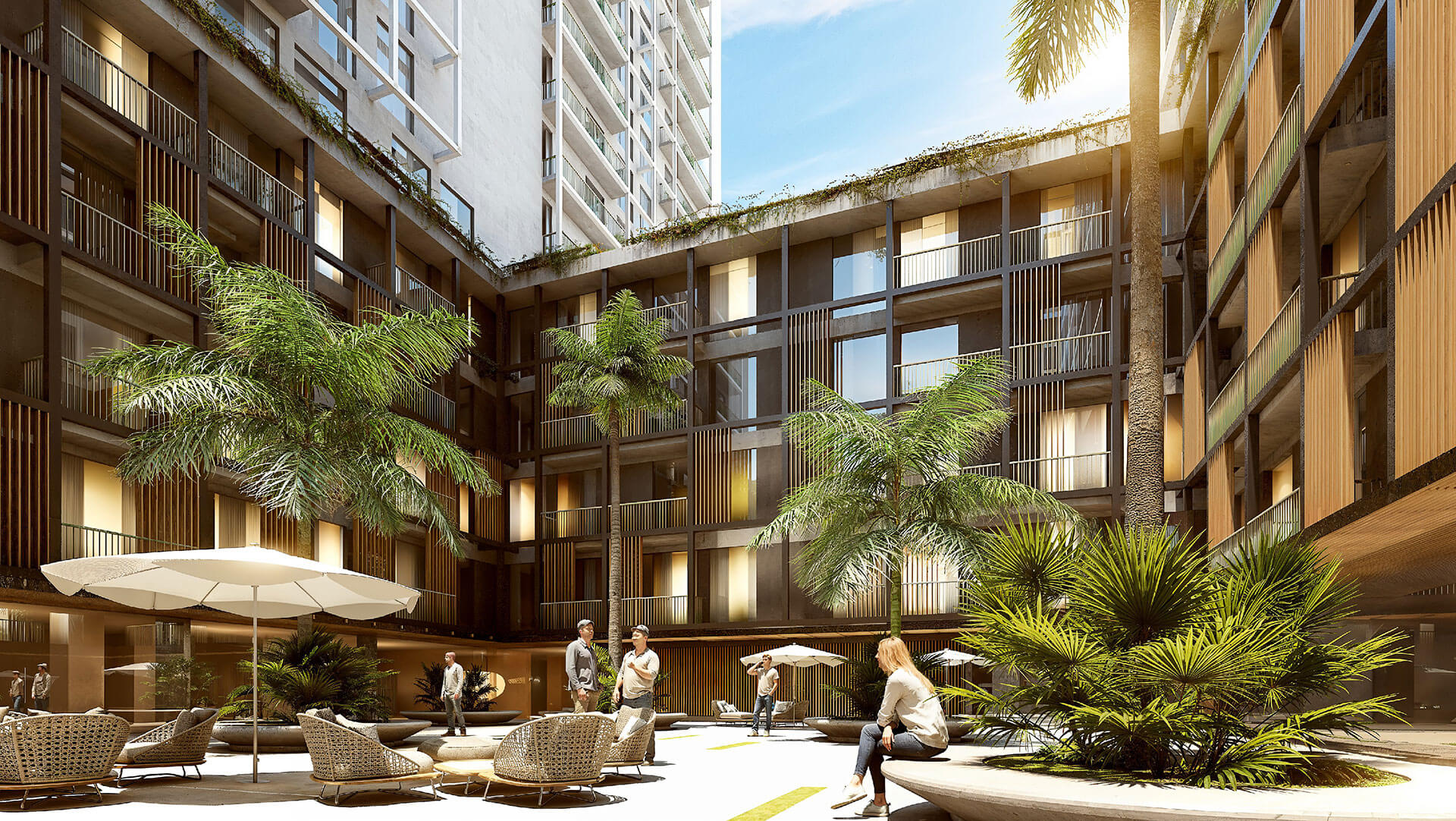
The central pedestrian axis prioritizes walkability and security, with controlled access points enhancing safety. This layout creates a horseshoe-shaped morphology, offering panoramic views of the central park, the setting sun, and the volcanoes. The macro-lots, ranging from 2,000 m² to 8,000 m², feature commercial podiums with double-height arcades on the ground floor and landscaped rooftop amenities. In total, the project comprises eight macro-lots, covering 37,365 m² of land and 327,569 m² of built area, to be developed in eight phases to accommodate an estimated population of 13,000 residents.
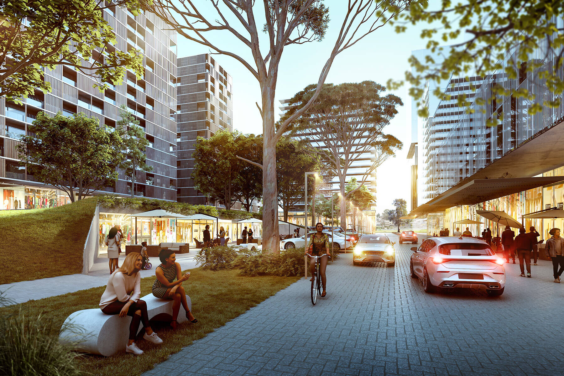
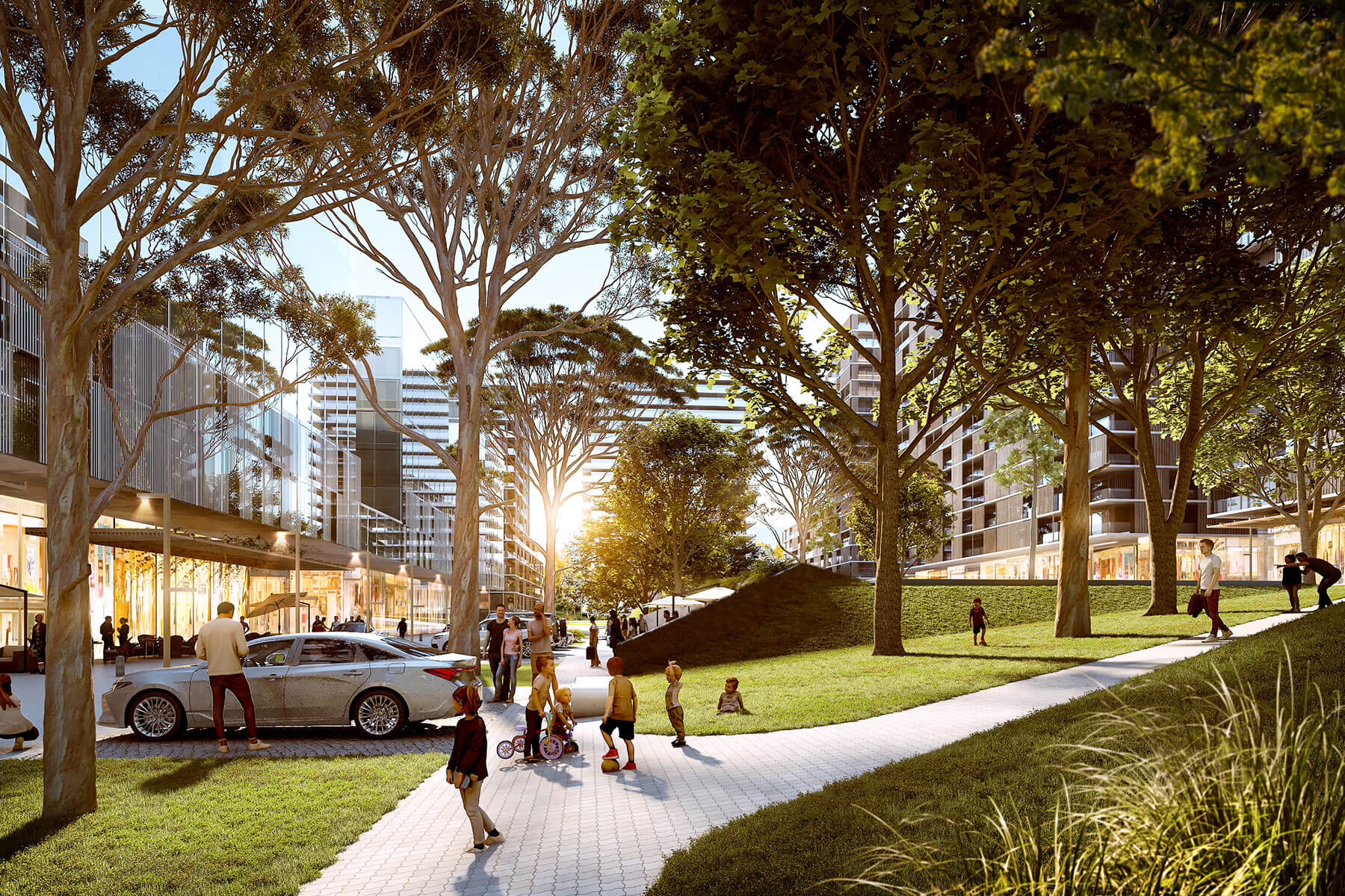
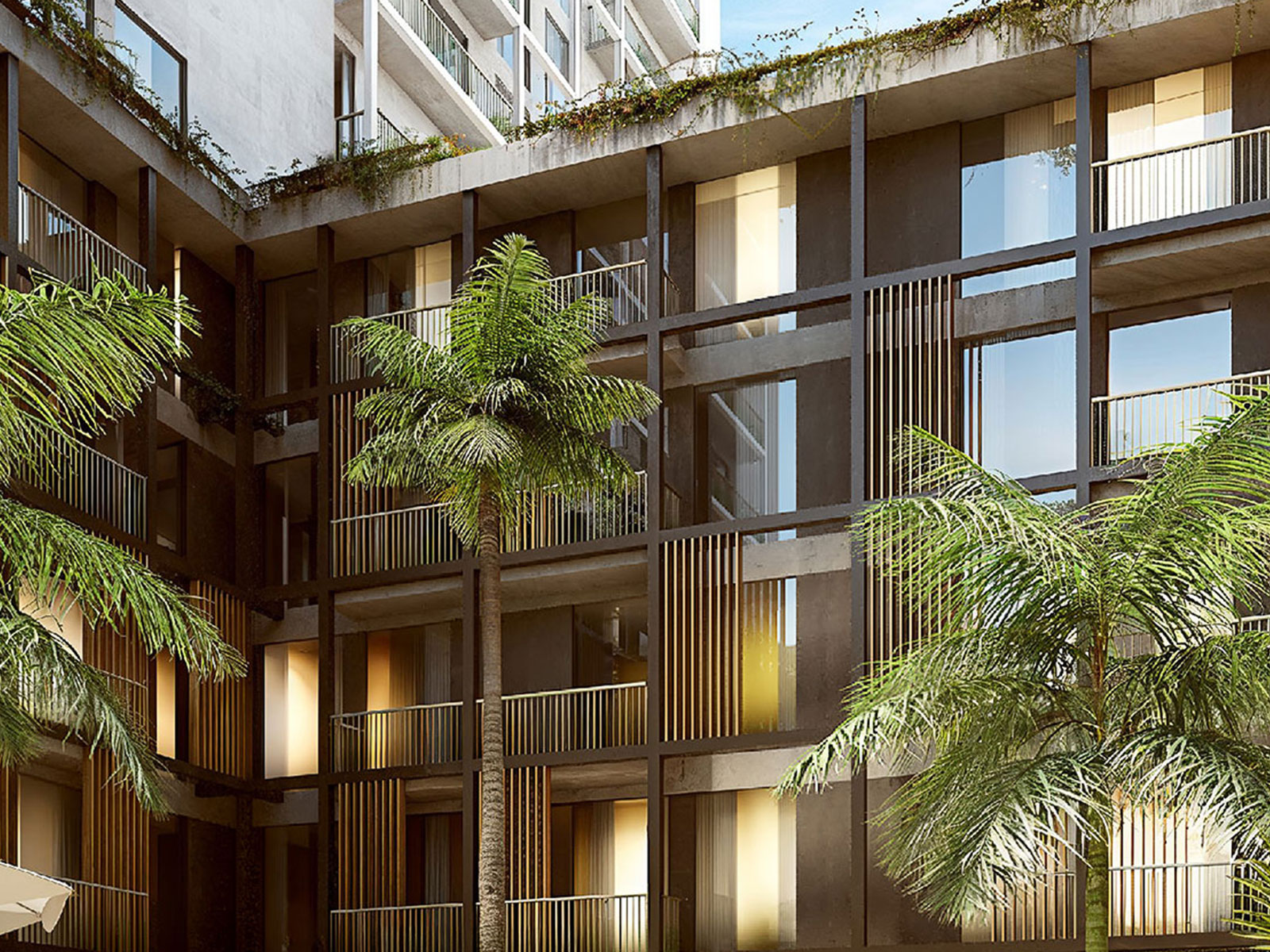
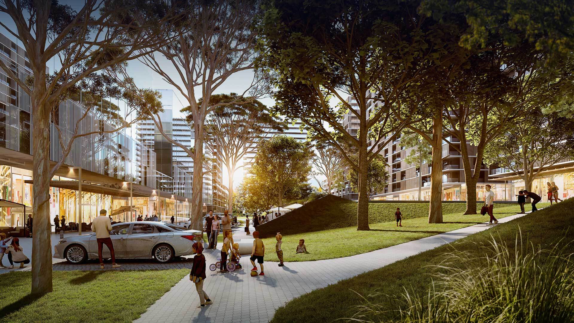
At the heart of the project lies the central park, flanked by a dry plaza and a wet plaza, which, along with terraces and rooftop gardens, form a cohesive green space system. These elements enhance air quality, promote recreation, and foster community engagement.
The project's organization ensures optimal solar exposure for the buildings, improving passive comfort and reducing energy consumption. It also prioritizes bicycle and pedestrian infrastructure, encouraging sustainable mobility and reducing car dependency.
Atlántida represents a comprehensive proposal that seamlessly blends architectural innovation, sustainability, and contemporary urbanism, setting a new standard for resilient, connected, and responsible city development.
